
North West Tasmania North West Tasmania
Visitor standing beneath Trowutta Arch beside a green sinkhole in North West Tasmania

RAINFOREST, RIVERS AND WILD COAST

Tarkine Drive

Towering rainforest on both sides of a sealed loop from Smithton. Pick three or four stops and let the day roll out.

Australia’s largest cool temperate rainforestLiving Aboriginal cultural landscapeA sealed loop with short walks

The Tarkine Drive connects rainforest walks, river lookouts and picnic stops in Tasmania’s Far North West.

Allow a full day, choosing the stops that interest you rather than rushing to see everything. Fuel up and stock up in Smithton first, because services along the loop are limited. Stay in Smithton or nearby Stanley, or head on to Marrawah and Arthur River for time on the coast.

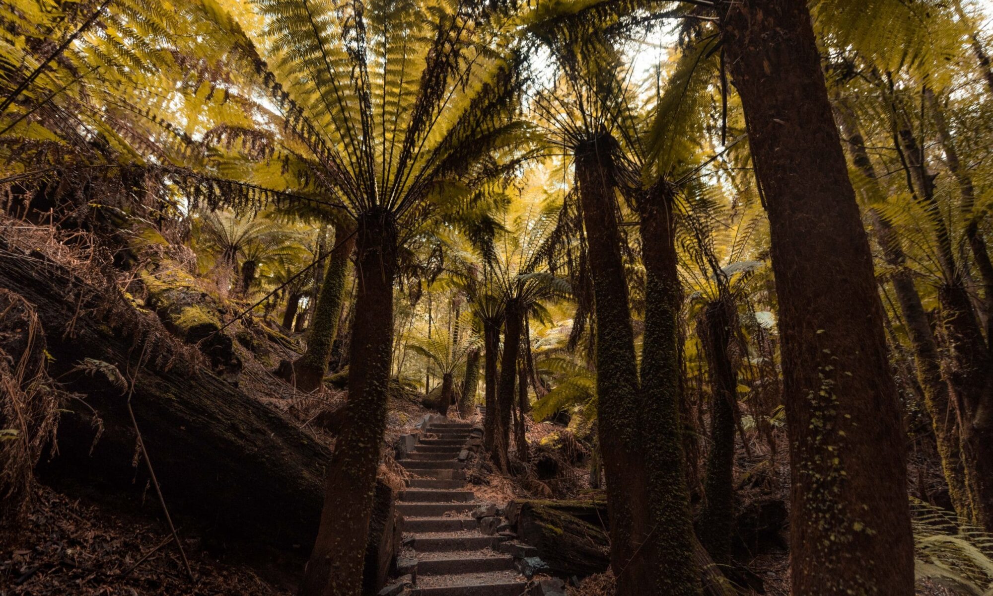
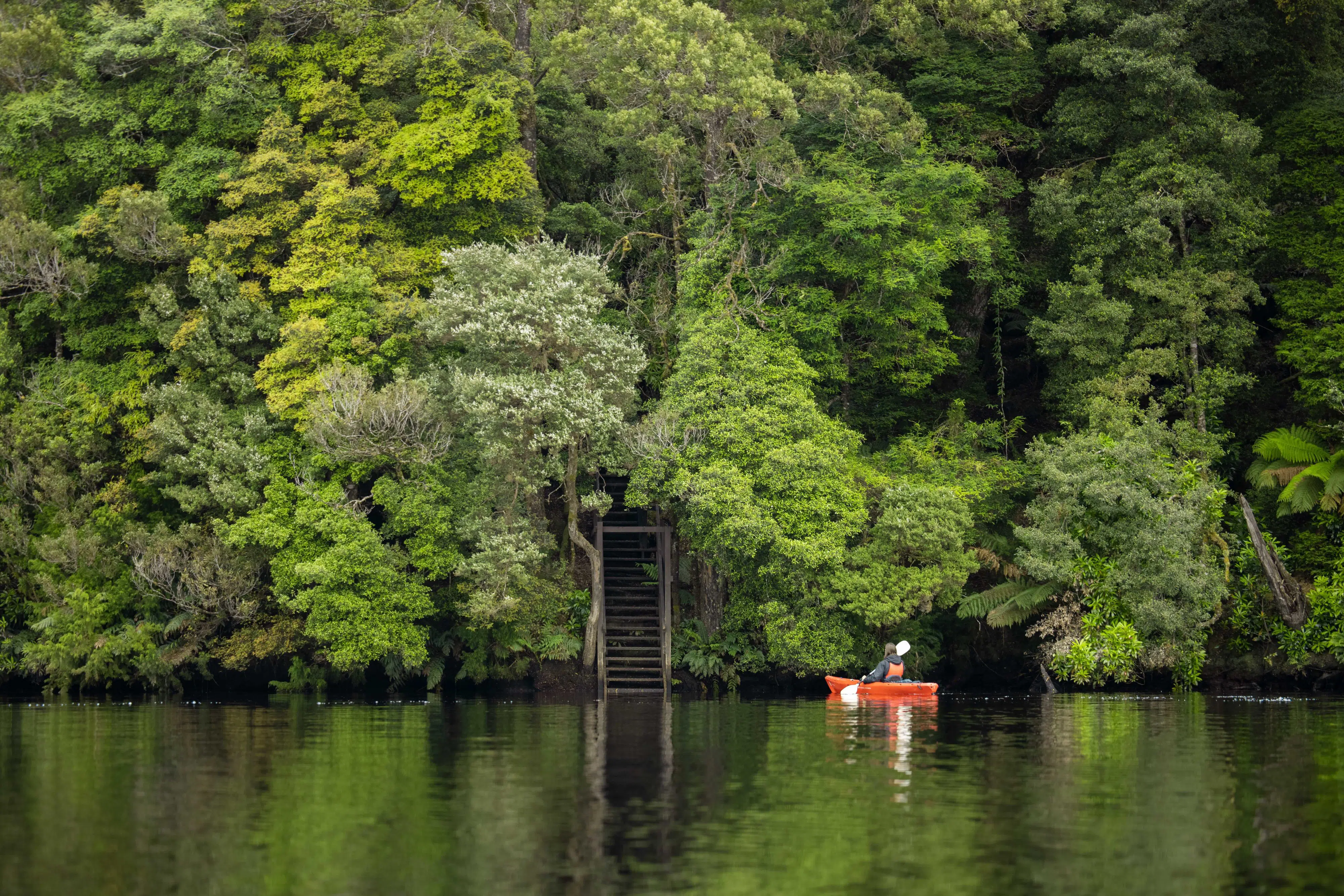
Boardwalk through cool temperate rainforest in takayna/Tarkine, Tasmania

What is takayna / Tarkine?

takayna / Tarkine is a region rather than one national park or visitor attraction. Different reserves, forests, rivers, towns and roads sit within the wider landscape. It contains Australia’s largest expanse of cool temperate rainforest, together with wild rivers, buttongrass plains, limestone sinkholes and coastline shaped by the Southern Ocean. The region is also a living Aboriginal cultural landscape. Keep to established roads and tracks, leave cultural places undisturbed and follow local access advice.

Three ways to experience takayna / Tarkine

There are three ways in. Follow the Tarkine Drive for rainforest walks and river lookouts, head to Arthur River and the wild coast, or travel the Western Explorer south to Corinna. Choose one or combine them over several days.

The Tarkine Drive

Follow a sealed touring loop from Smithton through rainforest and river country. Short walks, picnic areas and lookouts make this the easiest introduction to the region.

Arthur River and the coast

Travel through Marrawah to Arthur River for a river cruise, the Edge of the World, coastal walks and camping. The main route from Smithton is sealed.

The Western Explorer

Travel between Arthur River and Corinna on a remote route with significant unsealed sections.

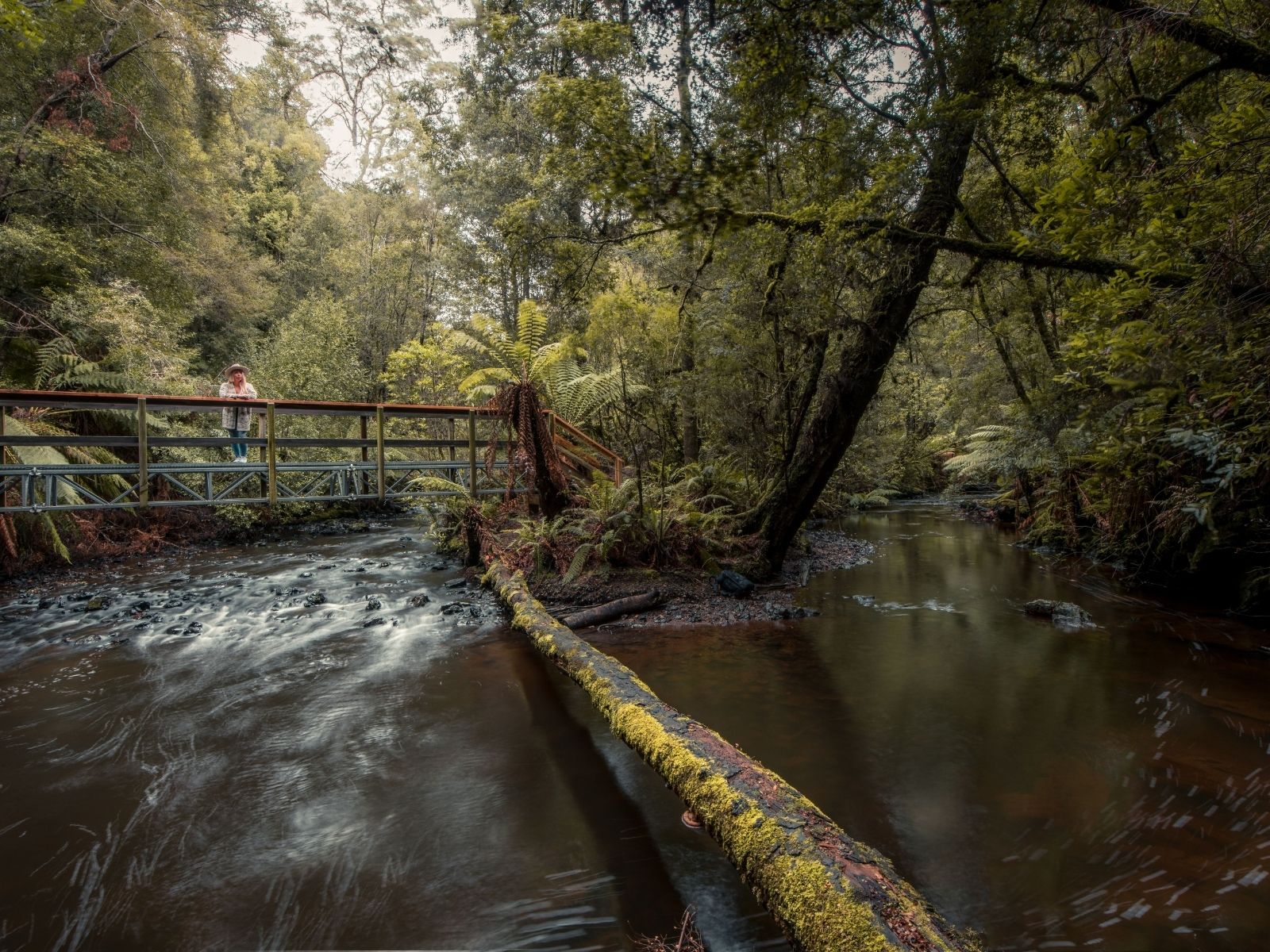
Visitor crossing a footbridge over Julius River in the takayna/Tarkine rainforest

The Tarkine Drive

The Tarkine Drive starts and finishes near Smithton. The main touring loop is sealed and suitable for conventional vehicles, although some side roads and attraction access points may be narrow or unsealed. You can complete the loop in a day, but the experience is in the stops. Choose three or four places for a relaxed day or start early if you want to include more of the walks.

Stops along the Tarkine Drive

Trowutta Arch

Follow a short track through fern-filled rainforest to a natural limestone arch beside a sinkhole. The forest opens around this striking formation, making it a memorable stop without a long hike.

Access is via a side road off the main touring route.

Milkshake Hills

Choose a short rainforest circuit or allow longer for the climb to the lookout. The higher walk opens to views across the surrounding forest and plains.

This is a useful stop for seeing how quickly the landscape changes between dense rainforest and more open country.

Dempster Plains

Stop for views across the Tarkine’s buttongrass plains. This landscape is very different from the rainforest found elsewhere along the drive and helps show the range of environments within the region.

Lake Chisholm

Follow a short track through rainforest to Lake Chisholm, a flooded limestone sinkhole surrounded by forest.

The walk is relatively short, making it easy to combine with another stop on the same day.

Julius River

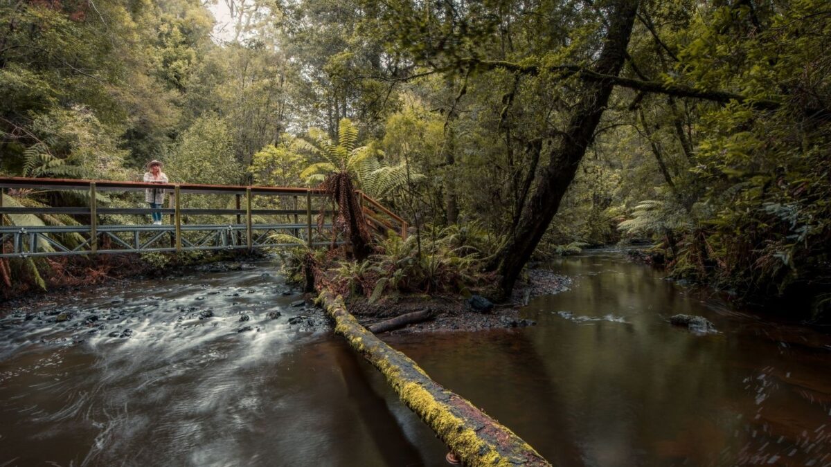
Julius River has two short rainforest circuits through myrtle, sassafras, tree ferns and moss-covered forest.

Picnic tables and toilets make this a practical place to stop for lunch before continuing around the loop.

Sumac Lookout

Pause for views over the Arthur River and the surrounding forest. No long walk is required, so it is an easy stop later in the day.

Kanunnah Bridge

Stop beside the Arthur River at Kanunnah Bridge. The picnic area provides another chance to see the river before returning towards Smithton.

Visitor crossing a footbridge over Julius River in the takayna/Tarkine rainforest

How long should you allow?

Half a day Choose two or three stops in the same part of the route rather than trying to complete the full loop. Use the Tarkine Drive map to group nearby stops.

One full day Drive the loop with time for several rainforest walks, river lookouts and a picnic. Choose a few favourites and stay longer where the forest suits.

Two days Spend one day on the Tarkine Drive and a second travelling through Marrawah to Arthur River. Stay in Smithton, Stanley, Marrawah or Arthur River.

Tours into the Tarkine

Adventure and Outdoors Tours Cultural and Theme Tours Customised +3

Tall Timbers Adventure Tours

Tall Timbers Adventure Tours offers a unique attraction for visitors to Tasmania’s North West. Experience Australia’s largest cool-climate rainforest, the Tarkine wilderness, led by the region’s most experienced…
Adventure and Outdoors Tours Cultural and Theme Tours Extended +3

Tarkine Trails

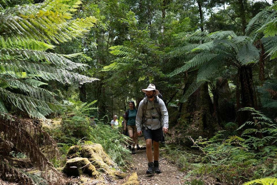
Join Tarkine Trails and discover the beauty of Tasmania’s North West on a true small group hiking tour with a focus on genuine sustainable travel and connection. Pick…

Cruises, Sailing and Water Tours Half Day or Less

Pieman River Cruise

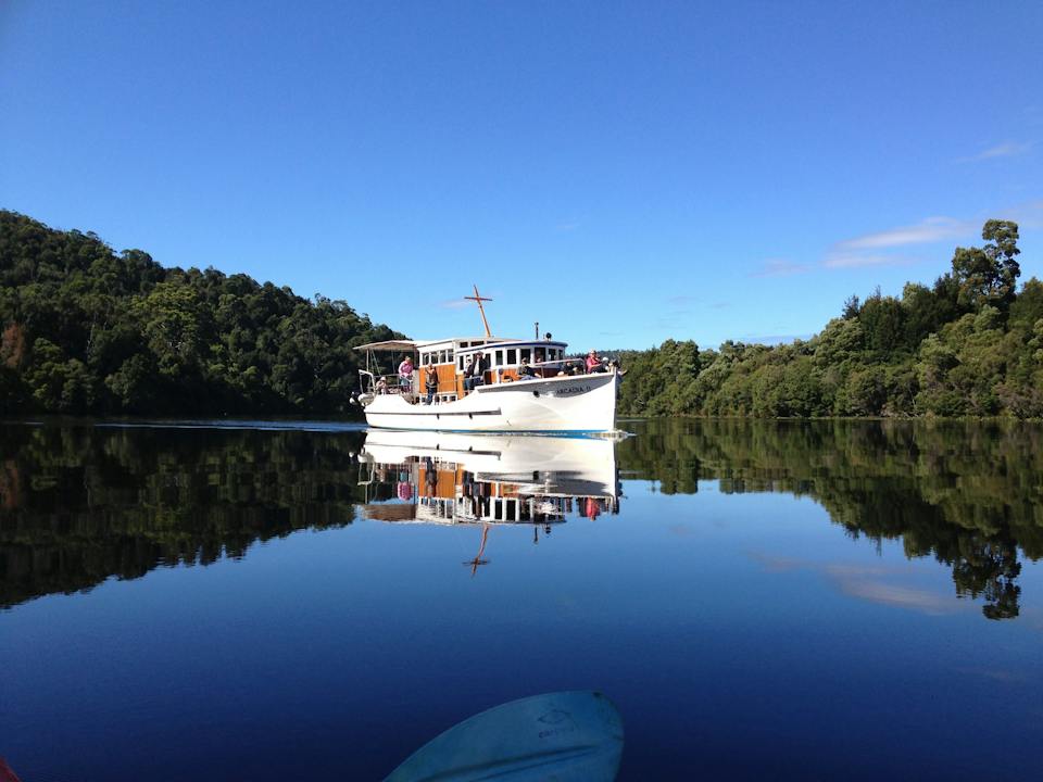
The Pieman River Cruise, onboard the famous Arcadia II departs Corinna at 10:00 am, cruising downstream on the Pieman River towards Pieman Heads. The cruise arrives at Pieman…

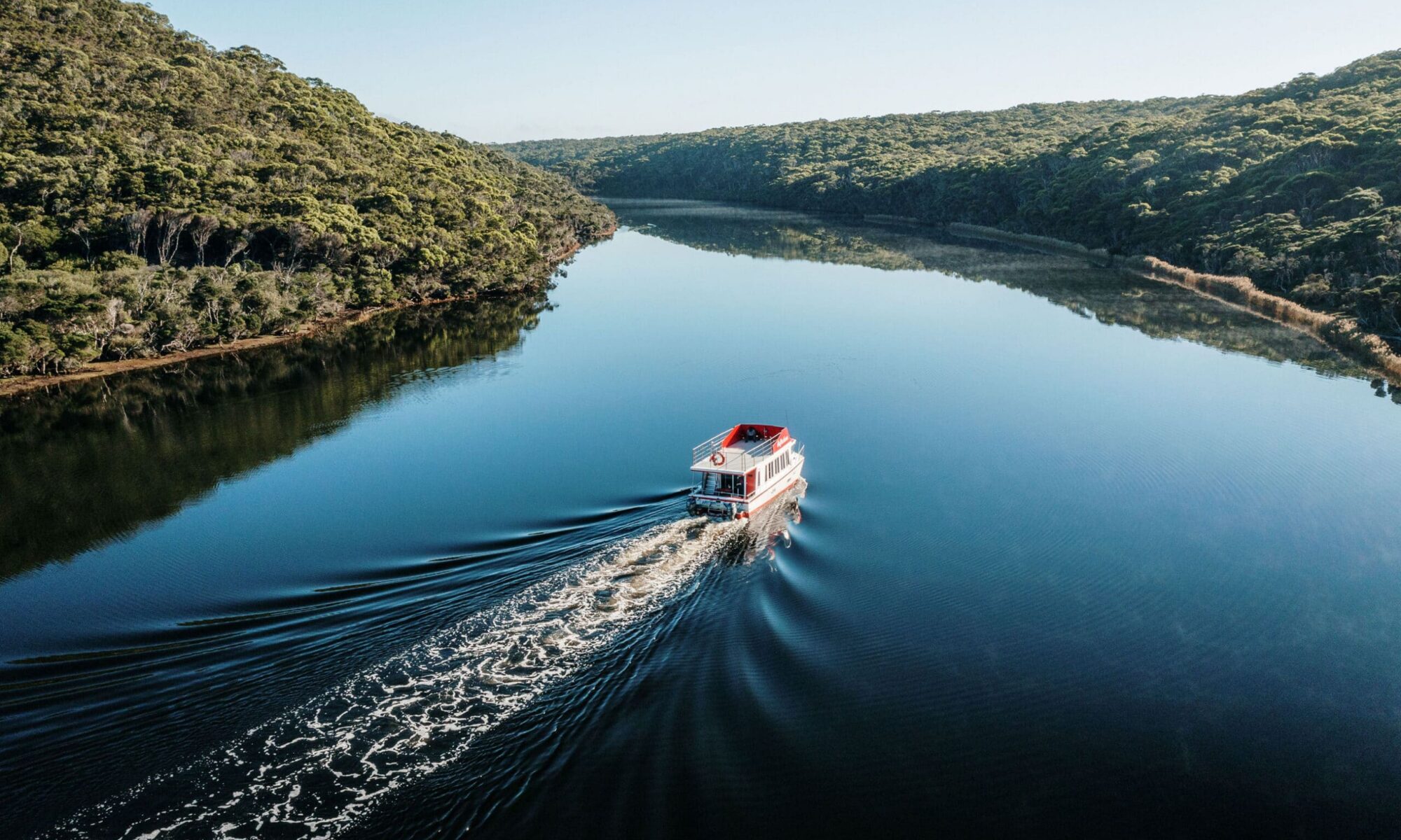
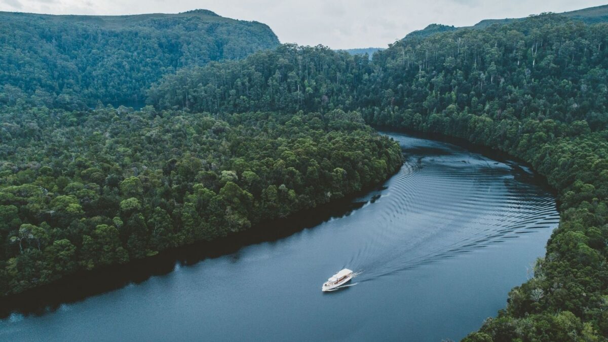
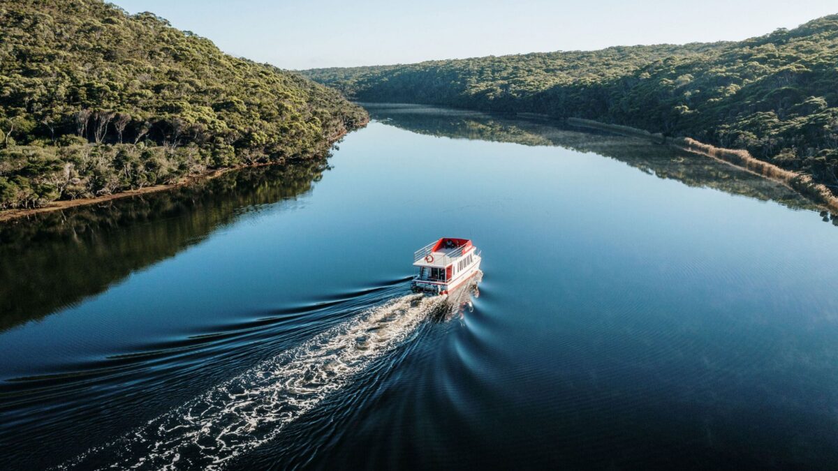
Cruise boat travelling along the Arthur River between forested riverbanks in North West Tasmania

Continue to Arthur River and the coast

Two timber boardwalks form a v shape over grassy sand dunes at sunrise. Everything has a deep golden glow.

At Arthur River, the forest-lined river meets the Southern Ocean. Take a cruise upstream, visit the Edge of the World at Gardiner Point or add a coastal walk.

Stay overnight to see more of the area, with campgrounds, cabins and holiday accommodation available.

Arthur River
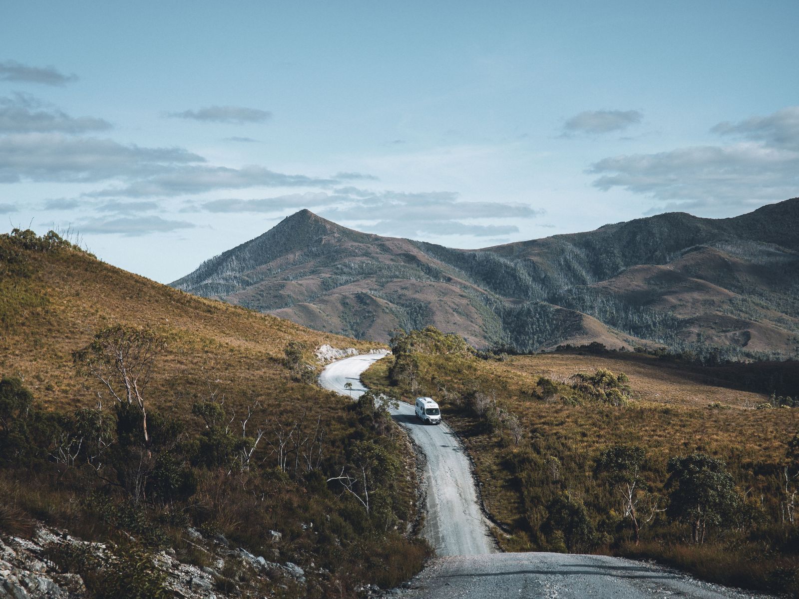
Motorhome travelling along the remote Western Explorer road in North West Tasmania

The Western Explorer

The Western Explorer connects Arthur River with Corinna through remote country. This is a separate journey from the Tarkine Drive, with long unsealed sections, limited services and unreliable mobile reception.

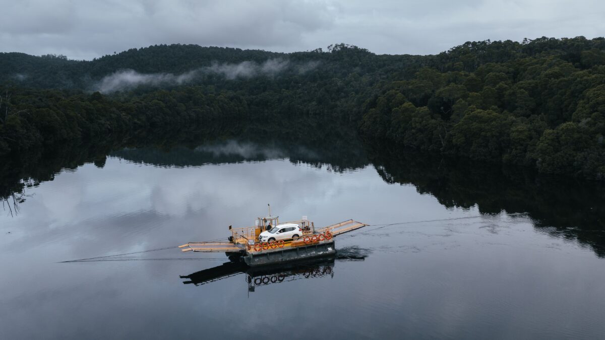
Vehicle crossing the Pieman River on the Fatman Barge near Corinna, Tasmania

The road to Corinna

The main road is generally suitable for two-wheel-drive vehicles with standard clearance, but conditions can change after heavy rain. Check current advice and allow more time than the distance might suggest.

The Western Explorer reaches Corinna from the north without crossing the Pieman River. Visitors arriving from or continuing south towards Zeehan and Strahan must cross the river on the Fatman Barge. Operating hours and vehicle limits apply, particularly for caravans, motorhomes and trailers.

See Corinna

Where to stay

Choose accommodation in Smithton or Stanley for a day on the Tarkine Drive. Marrawah and Arthur River suit a longer trip combining rainforest and coast. Designated camping options include a van and motorhome camping site at Julius River. Walking-track, lookout and picnic car parks should not be treated as overnight sites.

Smithton

Stanley

Marrawah

Arthur River

Getting to takayna / Tarkine

From Smithton and the North West

Follow the Bass Highway west to Smithton, then use the Tarkine Drive map to plan…

From Arthur River and the coast

Travel via Marrawah to Arthur River for coastal walks and river experiences, or use the…

From Zeehan, Strahan and the West Coast

Travel via Zeehan towards Corinna, crossing the Pieman River on the Fatman Barge. Corinna is…

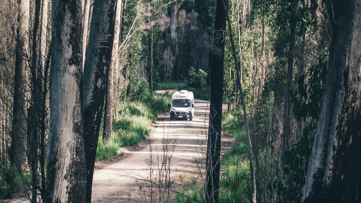
Motorhome travelling along the Western Explorer through forest in North West Tasmania

Travelling the Tarkine Drive by caravan or motorhome

The main Tarkine Drive is sealed, but narrow side roads and small parking areas can make access difficult for larger vehicles.

Where possible, leave your caravan at your accommodation or campground and get around in a smaller vehicle. If travelling by motorhome, choose stops with suitable access and space to park.

Know before you go

What to know before you do the Tarkine Drive

Fuel up and collect groceries, picnic food and drinking water in Smithton before leaving. Services along the drive are limited.

Download your route map and essential information beforehand, as mobile reception can be unreliable.

For rainforest walks, bring sturdy footwear and a waterproof layer. Check relevant track alerts before setting out, stay on formed tracks and leave Aboriginal cultural places undisturbed.

The area

Stay, eat and see more of takayna / Tarkine

Plot your trip along the Tarkine Drive and through the wider takayna / Tarkine region. Filter the map to find walks, attractions, places to stay and food along your journey.

Frequently asked questions

What is the Tarkine?

takayna / Tarkine is a large region in Tasmania’s North West containing cool temperate rainforest, rivers, buttongrass plains, coastline and significant Aboriginal cultural landscapes. It is not a single national park or attraction.

What is the Tarkine Drive?

The Tarkine Drive is a sealed touring loop from Smithton through rainforest and river country. Stops include Trowutta Arch, Milkshake Hills, Lake Chisholm, Julius River, Sumac Lookout and Kanunnah Bridge.

How long does the Tarkine Drive take?

Allow a full day if you want to complete the loop and visit several stops. With half a day, choose two or three locations rather than trying to see the entire route.

Can I drive the Tarkine Drive in a two-wheel-drive vehicle?

Yes. The main touring route is sealed and suitable for conventional vehicles. Some side roads and attraction access points may be narrow or unsealed.

Can I take a caravan on the Tarkine Drive?

The main touring route is sealed, but narrow access roads and small parking areas at individual stops may not suit a caravan in tow. Where possible, leave your caravan at your accommodation and get around in a smaller vehicle.

Is the Western Explorer part of the Tarkine Drive?

No. The Western Explorer is the more remote road connection between Arthur River and Corinna. It includes unsealed sections and requires more preparation than the Tarkine Drive.

Where should I stay for the Tarkine?

Smithton and Stanley are useful bases for the Tarkine Drive. Choose Marrawah or Arthur River if you’re combining rainforest stops with time on the coast.

Are there shops or fuel along the Tarkine Drive?

Services are very limited along the loop. Fuel up and buy food and drinking water in Smithton before leaving.

Is there mobile coverage in the Tarkine?

Coverage is limited and unreliable in parts of the region. Download maps and essential information before setting out.

Can I camp along the Tarkine Drive?

Use designated camping areas. Julius River has a camping site for vans and motorhomes, with further options around Smithton, Stanley, Marrawah and Arthur River. Do not assume overnight camping is permitted at walking-track, lookout or picnic-area car parks.

Do I need a parks pass?

A parks pass is not required to drive the main roads through the Arthur-Pieman Conservation Area. Some off-road vehicle tracks require an Arthur-Pieman Recreational Driver Pass.