

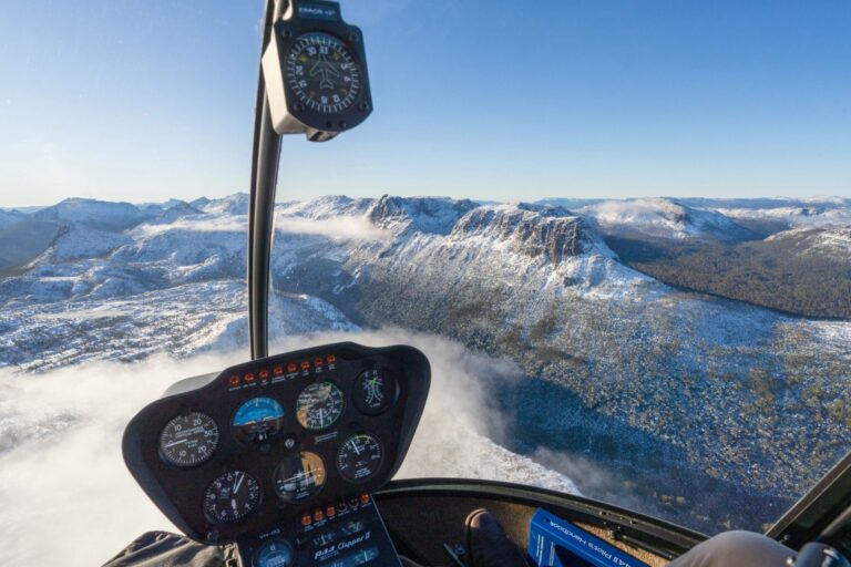
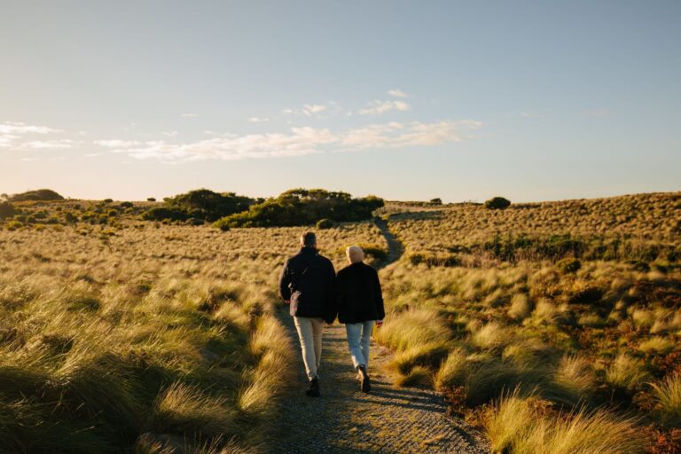

Natural Attractions
Coast to country
Waterfalls, caves, canyons and coastline
This part of Tasmania is best seen through the windscreen first. Between Devonport and Stanley the coast road keeps changing, from beaches and headlands to red volcanic farmland, and a turn inland brings you to a canyon, a basalt waterfall or a cave. Most stops on this page are a few minutes from the car park, and we’ve noted where there are steps or uneven ground so you know before you go.
If you’d rather lace up properly, Hikes and Walks has the longer tracks. For passes and park rules, head to National Parks and Reserves.
Waterfalls and rainforest
Waterfalls here are mostly a short walk from the car, and they change with the weather. Guide Falls is about 20 minutes from Burnie, with a five minute walk to the lower viewing area, and it tends to run best in winter and spring. Dip Falls, near Mawbanna, pours over basalt columns and looks its best after rain.
Then there’s takayna / Tarkine, Australia’s largest temperate rainforest. Roads loop through it, so you can take everything in from the car and hop out wherever something catches your eye. National Parks and Reserves has the full story.
- TIP — After a dry spell, some falls slow to a trickle. Check recent weather before a long drive.
Caves and canyons
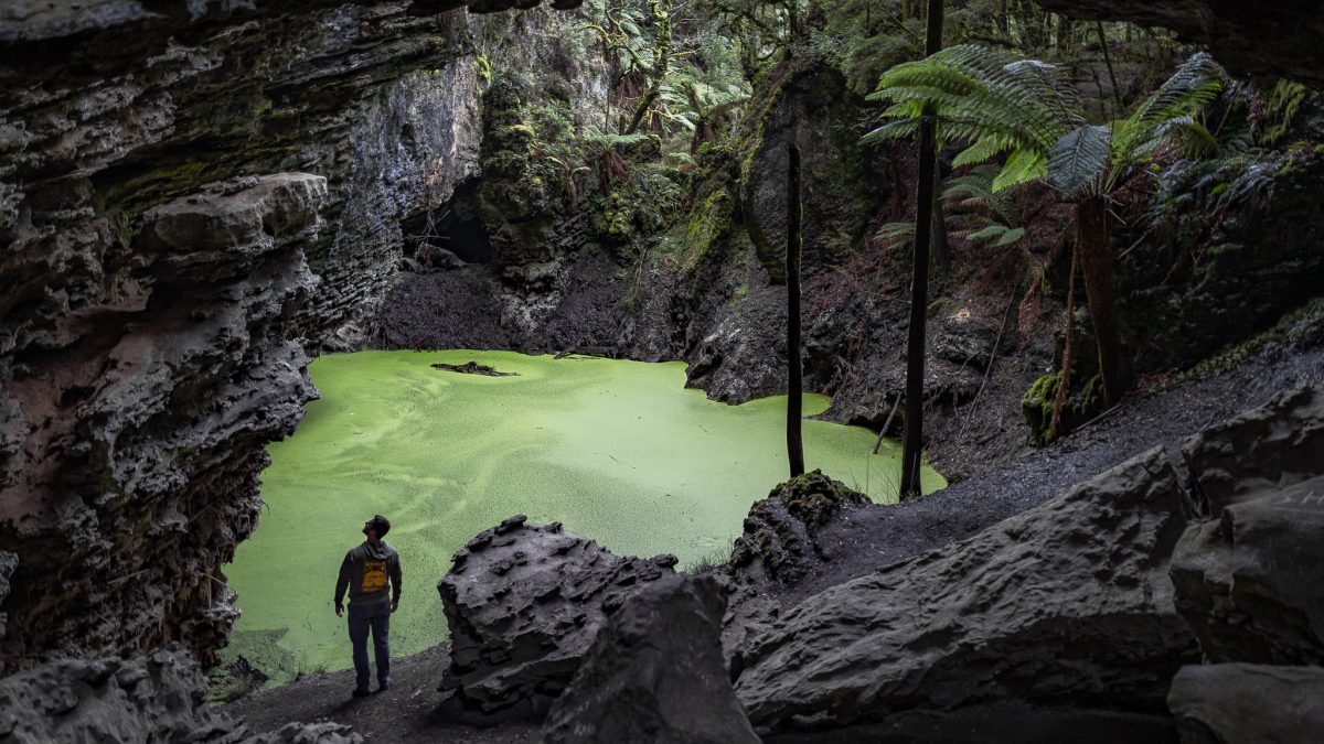
Two of the best stops sit inland from Ulverstone, and they pair well in a day. Gunns Plains Cave was found by chance in 1906. Tours head down 54 steps into a route of about 275 metres past flowstone and glow worms, so it’s not one for anyone who can’t manage stairs.
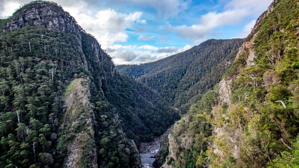
Leven Canyon is roughly 42 kilometres from Ulverstone, near Nietta. A 1.2 kilometre circuit leads to the Cruickshanks and Edge lookouts, with the Leven River far below.
- TIP — The cave is damp, so wear shoes with grip. Tours run to a schedule, so check times before you drive out.

Lookouts and volcanic headlands
Along the coast, land has a habit of rising straight up out of flat country. Mersey Bluff in Devonport Tasmania is the first one you meet off the ferry, with a lighthouse and a loop track of about 10 minutes. Further west, Table Cape is an old volcano with a flat top, and its lookout sits 170 metres above sea level with views back along the coast to Wynyard. Just west of town, Fossil Bluff has a beach walk past layers of fossil-bearing rock. The Nut at Stanley is the biggest of the lot, a 12 million year old volcanic plug. Take the chairlift, or walk the steep 20 minute track up.
- TIP — Fossil Bluff is only accessible at low tide, so check the tide times before you go.
Beaches and coast
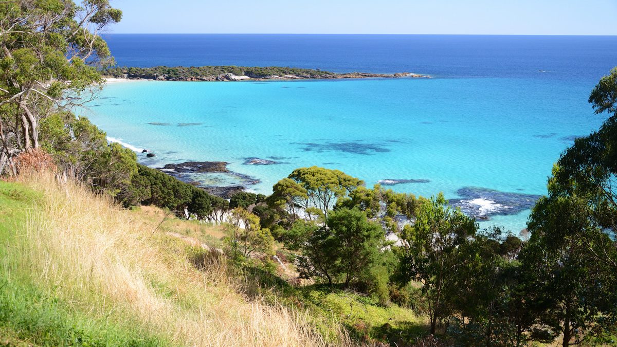
Boat Harbour is the postcard beach, a sheltered crescent of white sand and clear water. Sisters Beach is next door and quieter, set within Rocky Cape National Park. Rocky Cape is Tasmania’s smallest national park, with a rugged coastline of sea caves and rock pools.
- TIP — Check conditions before you swim, and pack a layer. The wind can take you by surprise, even on a sunny day.
A natural attractions drive
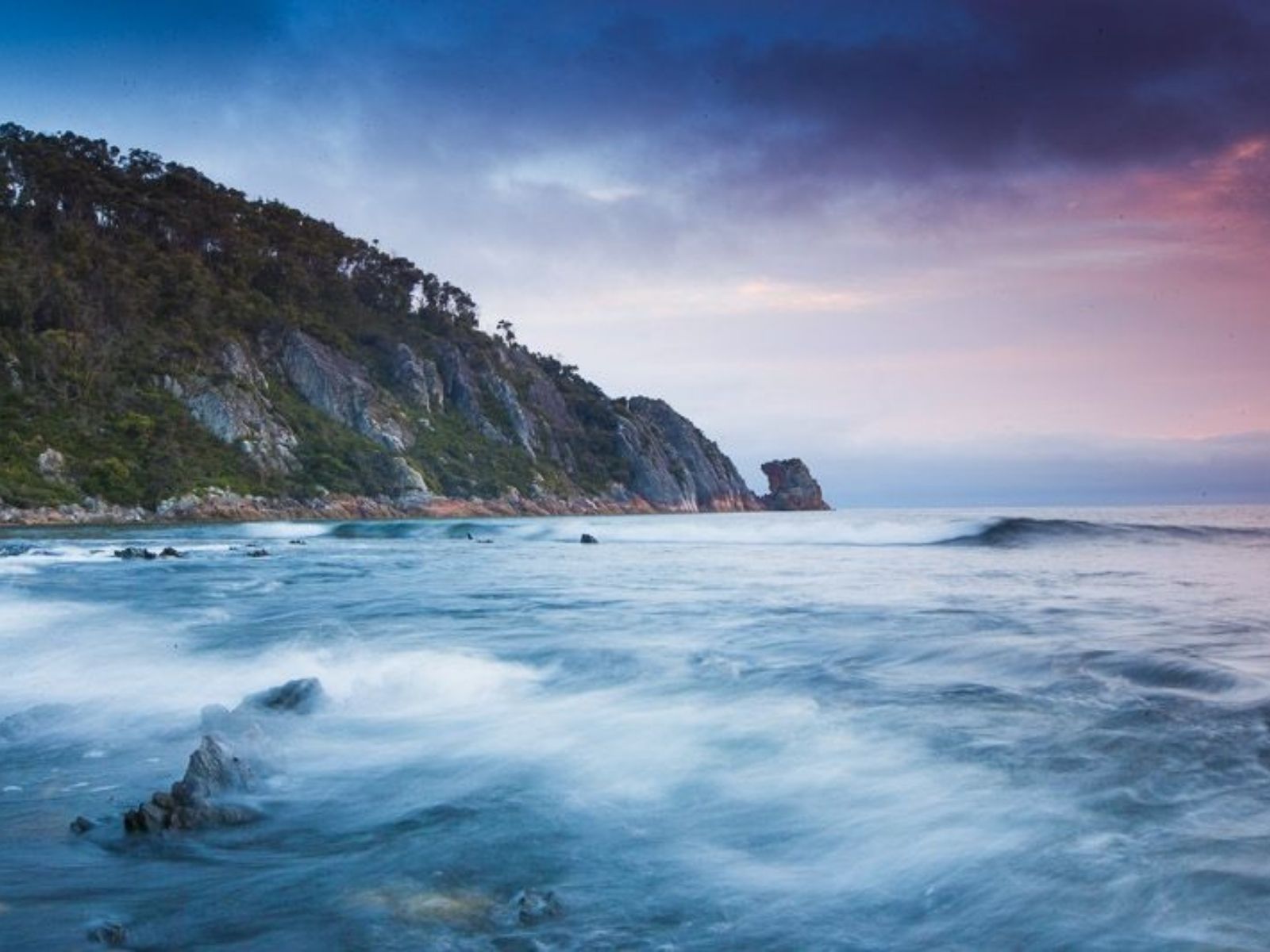
The North West is about the drive, so it helps to group stops by town. Heading west from the ferry, here’s where to pull up.
- Devonport Tasmania - Mersey Bluff lighthouse and loop track, minutes from the ferry.
- Ulverstone - Gunns Plains Cave, Preston Falls and Leven Canyon, a half day inland.
- Burnie - Guide Falls and Oldaker Falls.
- Wynyard - Table Cape and Fossil Bluff.
- Boat Harbour - the beach, then Sisters Beach and Rocky Cape.
- Stanley and Smithton - The Nut, then Dip Falls and Trowutta Arch if you’re heading inland.
Natural attractions FAQs
What are the best natural attractions in North West Tasmania?
Leven Canyon and Gunns Plains Cave inland from Ulverstone, Guide Falls near Burnie, Table Cape and Fossil Bluff at Wynyard, Boat Harbour Beach, The Nut at Stanley and Dip Falls near Mawbanna are the standouts. Most are a short walk from the car park.
Where are the best waterfalls in North West Tasmania?
Guide Falls near Burnie, Preston Falls near Gunns Plains and Dip Falls near Mawbanna are the easiest to reach. Oldaker Falls is inside Burnie. Falls run best after rain, and Guide Falls is usually at its best in winter and spring.
Which natural attractions are easy to reach from Devonport Tasmania?
Mersey Bluff is in Devonport itself, and the Ulverstone area is the next closest. From there the coast road runs west to Burnie, Wynyard and Stanley, with each stop a little further from the ferry.
Can I visit Gunns Plains Cave and Leven Canyon in one day?
Yes. Both are inland from Ulverstone, and Preston Falls sits on the way. Cave tours run to a schedule, so check times before you set off.
Are the stops suitable for prams, kids and limited mobility?
It depends on the stop. Mersey Bluff and Table Cape lookout are the easiest places to start. Gunns Plains Cave has 54 steps, and some lookouts and tracks have steps or uneven ground, so check each listing for access notes. Keep kids close at lookouts with steep drops.
Can you swim at the waterfalls?
Check the signs at each site before you get in. The water is cold, rocks are slippery and levels rise fast after rain. Beaches like Boat Harbour are the better bet for a swim.
Are dogs allowed?
Rules vary by site. Dogs are generally not allowed in national parks, and some reserves and beaches have their own rules. Check with the managing authority before you bring a dog.
Do I need a park pass?
Some stops, including Rocky Cape National Park, sit inside national parks and need a Tasmanian parks pass for vehicles. Others are free council or reserve sites. Cave tours and the Nut chairlift are paid separately. National Parks and Reserves has the details.
What's the weather like, and what should I plan for?
Conditions change fast out here, so build in some slack. Mobile reception drops out in the hills and takayna / Tarkine, so download a map before you leave. Check Parks and Wildlife Service for track closures.
Are the rocks and tracks slippery?
Yes. Rock and timber near waterfalls get slippery, even in summer, and Gunns Plains Cave is damp, so wear shoes with grip. Stay on formed paths.