O’Neills Creek picnic reserve
O’Neill’s Creek Nature Trail is an easy 15-minute walk (approximately 700 metres to O’Neill’s Road) and leads to the start of the Mt Roland Regional Reserve walking tracks.…

For fit walkers: three to five hours return or a circuit.
Similar 360 degree panoramic views to those from Mt Roland and Mt Claude. Follow the main Mt Roland walk and turn right after 700 metres for a steep 45 minute climb through the forest, before taking a left turn at the intersection. The track climbs very steeply with a few awkward sections for about 30 minutes before entering the alpine area above the trees.
The summit, a small rise covered with boulders, is to the right via a 10 minute walk off the main track. Return to the car park by the same route or, for the circuit, keep walking north on the main track for about 30 minutes to a platform, where the track to the left leads to the car park.

Make a day of it
O’Neill’s Creek Nature Trail is an easy 15-minute walk (approximately 700 metres to O’Neill’s Road) and leads to the start of the Mt Roland Regional Reserve walking tracks.…
Two walks for fit walkers: two hours return from Olivers Road and four to six hours return from O’Neills Road. Similar 360-degree panoramic views to those from Mt…
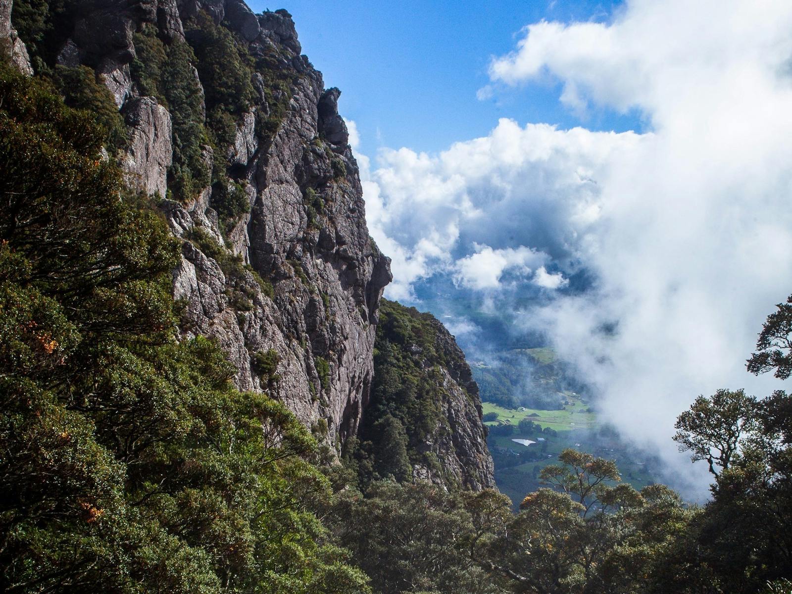
Mount Roland Range comprises three peaks: Mount Roland (1234 m), Mt Van Dyke (1084 m) and Mt Claude (1034 m). Various paths enable walks to the summits but one track enables…
You might also like
Mount Roland Range comprises three peaks: Mount Roland (1234 m), Mt Van Dyke (1084 m) and Mt Claude (1034 m). Various paths enable walks to the summits but one track enables…
Tasting Trail Tasmania
Cheese, cider, whisky, berries and chocolate - straight from the makers. Plot your own self-drive food trail through the North West.
Explore the Tasting Trail